Fresh spell of rain, snow may affect most areas between Jan 22 & 24
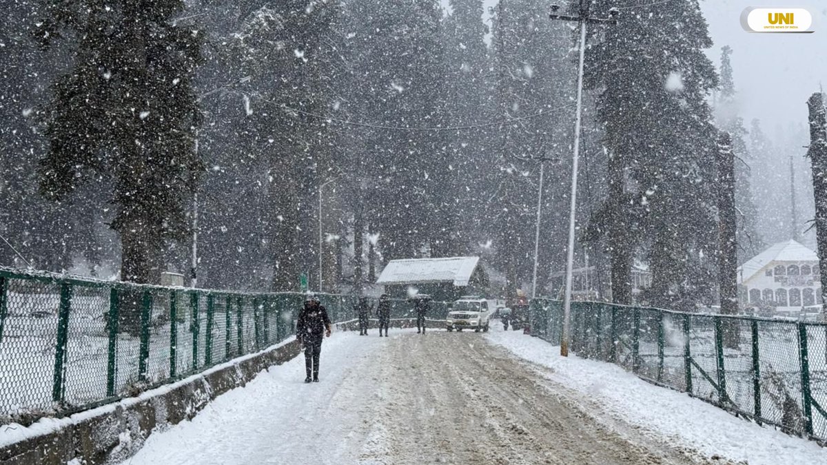
Srinagar: The higher reaches of Kashmir Valley received fresh snowfall on Friday, even as minimum temperatures across Jammu and Kashmir and Ladakh recorded a rise compared to Thursday.
Officials said that the higher reaches of the Kashmir Valley, including Gulmarg, Sonamarg, and parts of north Kashmir such as Gurez Valley and Razdan Top, have experienced fresh snowfall. Forecasts suggest continued snowfall in areas like Kupwara, Bandipora, Ganderbal, and Anantnag, with light snowfall also expected at Gulmarg and along the Pir Panjal range. As snowfall persisted, minimum temperatures in the region showed a slight increase. Srinagar recorded a minimum of minus 1.5 degrees Celsius, up from minus 3.9 degrees, while other areas such as Qazigund, Pahalgam, and Kupwara also reported rises in minimum temperatures. In south Kashmir, Anantnag and Pulwama saw similar increases, while north and central Kashmir stations like Baramulla and Bandipora also experienced warmer temperatures. In the Jammu region, temperatures were marginally higher, with Jammu city recording 4.7 degrees Celsius. Ladakh, however, remained colder, with Leh and Kargil reporting temperatures below minus 8 degrees. Looking ahead, the weather forecast indicates no significant weather activity until January 21, with light snowfall expected on January 19 and 20. From January 22 to 24, there is a possibility of light to moderate rain or snow across most areas, particularly in the Chenab Valley, Pir Panjal range, and south Kashmir, where heavier precipitation may occur. An advisory has been issued regarding the potential for heavy rain or snow and the associated risk of landslides, prompting farmers to suspend operations during this period.


