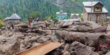
Satellite data used for floods, landslides, forest fires; research centres boost innovation
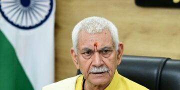
New Delhi: The Government on Monday said space technology is being extensively used for disaster monitoring and development planning in Jammu and Kashmir.
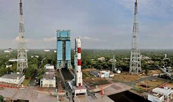
In a Rajya Sabha reply, Union Minister Dr Jitendra Singh said satellite-based tools are helping track floods, landslides and forest fires, with data shared through ISRO platforms like Bhuvan and the National Database for Emergency Management.
ISRO has also developed mobile applications for forest fire reporting and is working with the J&K Remote Sensing Application Centre on natural resource mapping and planning projects.
The government said dedicated centres, including the Satish Dhawan Centre for Space Science at the Central University of Jammu, are supporting research and student participation in space technology.
Space-based systems are also integrated into national disaster response mechanisms for early warning and coordinated relief efforts. PIB


